2021
TL7043 : Stour Brook Near the End of Linnets Lane
taken 3 years ago, near to Sturmer, Essex, England
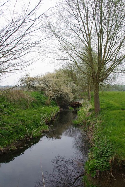
Stour Brook Near the End of Linnets Lane
Looking towards the confluence with the Stour itself.
 Map © Crown Copyright")
TIP: Click the map for more Large scale mapping
- Grid Square
- TL7043, 23 images (more nearby 🔍)
- Photographer
- Glyn Baker (more nearby)
- Date Taken
- Tuesday, 20 April, 2021 (more nearby)
- Submitted
- Wednesday, 21 April, 2021
- Subject Location
-
OSGB36:
 TL 7045 4388 [10m precision]
WGS84: 52:4.0238N 0:29.1171E - Camera Location
-
OSGB36: TL 7040 4387
- View Direction
- EAST (about 90 degrees)