2021
SE2224 : Dale Lane, Batley
taken 3 years ago, near to Heckmondwike, Kirklees, England
This is 1 of 5 images, with title starting with Dale Lane in this square
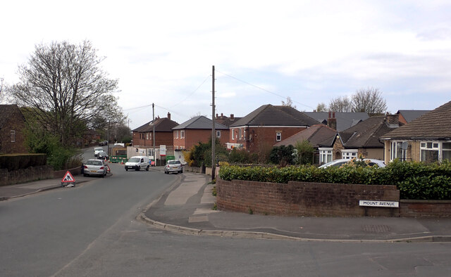
Dale Lane, Batley
Dale Lane seen from its junction with Mount Avenue.
 Map © Crown Copyright")
TIP: Click the map for more Large scale mapping
- Grid Square
- SE2224, 176 images (more nearby 🔍)
- Photographer
- habiloid (more nearby)
- Date Taken
- Wednesday, 21 April, 2021 (more nearby)
- Submitted
- Thursday, 22 April, 2021
- Subject Location
-
OSGB36:
 SE 2221 2447 [10m precision]
WGS84: 53:42.9706N 1:39.8967W - Camera Location
-
OSGB36: SE 2224 2448
- View Direction
- West-southwest (about 247 degrees)