2021
TF5479 : Support vessel and platform for Viking Link cable, off Sandilands: aerial 2021 (2)
taken 3 years ago, 3 km from Sandilands, Lincolnshire, England
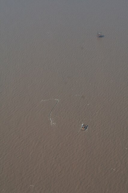
Support vessel and platform for Viking Link cable, off Sandilands: aerial 2021 (2)
The platform is in TF5480.
Viking Link is a 1,400 MW HVDC submarine power cable under construction between the United Kingdom and Denmark. See: Link
It comes onshore south of Sandilands (alongside Boygrift Drain) and is to finish at Bicker Fen substation.
See also TF3674 : Red Hill, Brinkhill and Viking Link cable run from Sandilands: aerial 2021 and TF3973 : Viking Link cable run passing Ulceby cross: aerial 2021.
 Map © Crown Copyright")
TIP: Click the map for more Large scale mapping
- Grid Square
- TF5479, 7 images (more nearby 🔍)
- Photographer
- Chris (more nearby)
- Date Taken
- Saturday, 24 April, 2021 (more nearby)
- Submitted
- Monday, 26 April, 2021
- Subject Location
-
OSGB36:
 TF 549 794 [100m precision]
WGS84: 53:17.3520N 0:19.3408E - Camera Location
-
OSGB36: TF 547 784
- View Direction
- NORTH (about 0 degrees)