2021
TA1672 : Bare field, south of Grindale Road
taken 3 years ago, near to Buckton, East Riding of Yorkshire, England
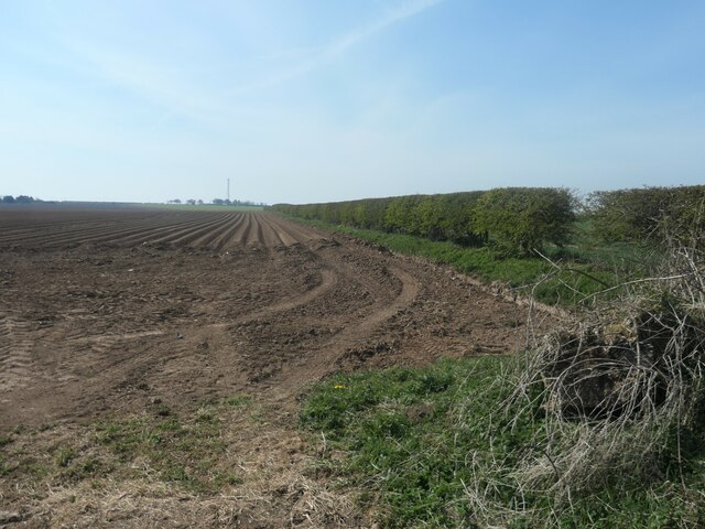
Bare field, south of Grindale Road
Banked into high ridges. For potatoes? Not chalky, unlike the field immediately to the west.
 Map © Crown Copyright")
TIP: Click the map for more Large scale mapping
- Grid Square
- TA1672, 43 images (more nearby 🔍)
- Photographer
- Christine Johnstone (more nearby)
- Date Taken
- Tuesday, 20 April, 2021 (more nearby)
- Submitted
- Wednesday, 28 April, 2021
- Subject Location
-
OSGB36:
 TA 1667 7217 [10m precision]
WGS84: 54:7.9286N 0:12.9554W - Camera Location
-
OSGB36: TA 1668 7225
- View Direction
- SOUTH (about 180 degrees)