2021
TQ4727 : Ashdown Forest near Fairwarp
taken 3 years ago, near to Fairwarp, East Sussex, England
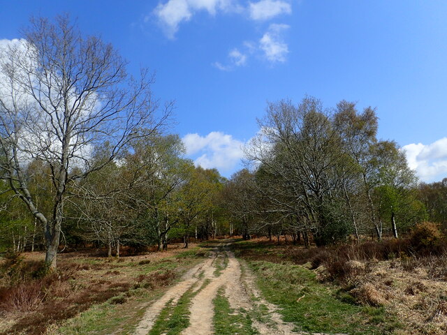
Ashdown Forest near Fairwarp
Ashdown Forest is a former medieval hunting forest, and is the highest ridge of the High Weald. At ten square miles it is the largest open access area in the South East. Ashdown Forest was purchased by East Sussex County Council from the De La Warr family in 1988. It is now managed by a Board of Conservators. Nearly two thirds of it is heathland.
This is on the far south-eastern edge near Fairwarp, just after crossing a small stream.
This is on the far south-eastern edge near Fairwarp, just after crossing a small stream.
 Map © Crown Copyright")
TIP: Click the map for more Large scale mapping
- Grid Square
- TQ4727, 64 images (more nearby 🔍)
- Photographer
- Marathon (more nearby)
- Date Taken
- Saturday, 1 May, 2021 (more nearby)
- Submitted
- Saturday, 1 May, 2021
- Subject Location
-
OSGB36:
 TQ 4724 2705 [10m precision]
WGS84: 51:1.4383N 0:5.8853E - Camera Location
-
OSGB36: TQ 4722 2701
- View Direction
- North-northeast (about 22 degrees)