2021
SD6720 : Northern Flanks of Cartridge Hill
taken 3 years ago, near to Ryal Fold, Blackburn With Darwen, England
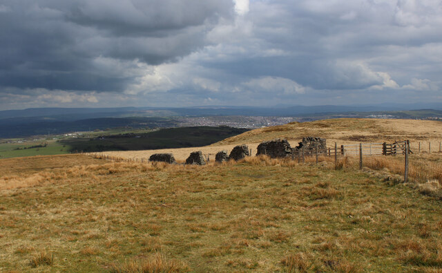
Northern Flanks of Cartridge Hill
 Map © Crown Copyright")
TIP: Click the map for more Large scale mapping
- Grid Square
- SD6720, 24 images (more nearby 🔍)
- Photographer
- Chris Heaton (more nearby)
- Date Taken
- Friday, 30 April, 2021 (more nearby)
- Submitted
- Monday, 3 May, 2021
- Subject Location
-
OSGB36:
 SD 6707 2040 [10m precision]
WGS84: 53:40.7411N 2:30.0003W - Camera Location
-
OSGB36: SD 6707 2037
- View Direction
- NORTH (about 0 degrees)