2008
SO9596 : Peascroft Lane
taken 16 years ago, near to Bilston, Wolverhampton, England
This is 1 of 3 images, with title starting with Peascroft Lane in this square
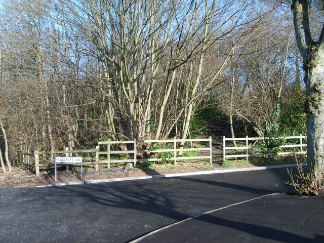
Peascroft Lane
The Wood alongside Mountford lane used to house the Fever Hospital.
 Map © Crown Copyright")
TIP: Click the map for more Large scale mapping
- Grid Square
- SO9596, 460 images (more nearby 🔍)
- Photographer
- Gordon Griffiths (more nearby)
- Date Taken
- Wednesday, 6 February, 2008 (more nearby)
- Submitted
- Saturday, 9 February, 2008
- Subject Location
-
OSGB36:
 SO 950 968 [100m precision]
WGS84: 52:34.1455N 2:4.4944W - Camera Location
-
OSGB36: SO 950 967
- View Direction
- North-northeast (about 22 degrees)