2015
SD2784 : Gawthwaite
taken 9 years ago, near to Gawthwaite, Cumbria, England
This is 1 of 9 images, with title Gawthwaite in this square
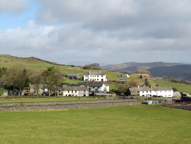
Gawthwaite
A small village on the route of The Cumbria Way long distance footpath just inside The Lake District National Park boundary, which follows the far wall of the A5092 road in front of the houses.
 Map © Crown Copyright")
TIP: Click the map for more Large scale mapping
- Grid Square
- SD2784, 75 images (more nearby 🔍)
- Photographer
- Adrian Taylor (more nearby)
- Date Taken
- Tuesday, 10 March, 2015 (more nearby)
- Submitted
- Tuesday, 11 May, 2021
- Subject Location
-
OSGB36:
 SD 27116 84850 [1m precision]
WGS84: 54:15.2468N 3:7.2124W - Camera Location
-
OSGB36: SD 27042 84661
- View Direction
- North-northeast (about 22 degrees)