2021
SE4128 : Allerton Ings
taken 3 years ago, near to Great Preston, Leeds, England
This is 1 of 5 images, with title starting with Allerton in this square
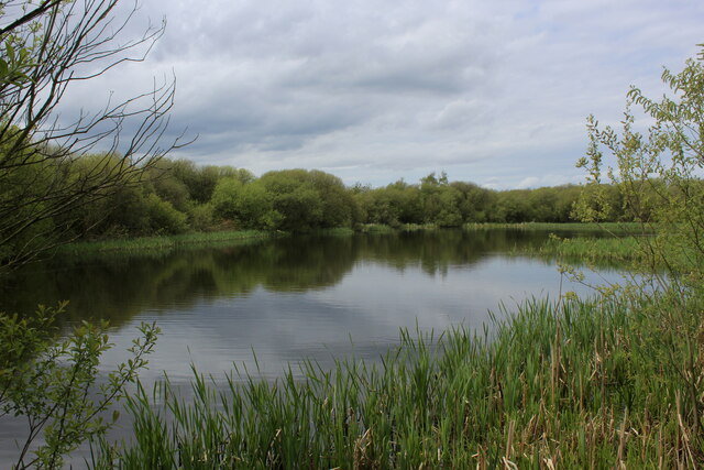
Allerton Ings
Former opencast coal mine, now flooded and converted into a sanctuary for wildlife.
 Map © Crown Copyright")
TIP: Click the map for more Large scale mapping
- Grid Square
- SE4128, 56 images (more nearby 🔍)
- Photographer
- Chris Heaton (more nearby)
- Date Taken
- Sunday, 9 May, 2021 (more nearby)
- Submitted
- Wednesday, 12 May, 2021
- Subject Location
-
OSGB36:
 SE 4121 2806 [10m precision]
WGS84: 53:44.8375N 1:22.5953W - Camera Location
-
OSGB36: SE 4127 2805
- View Direction
- WEST (about 270 degrees)