2015
NG9247 : Ruadh Stac Bheag
taken 9 years ago, 5 km WNW of Coulags, Highland, Scotland
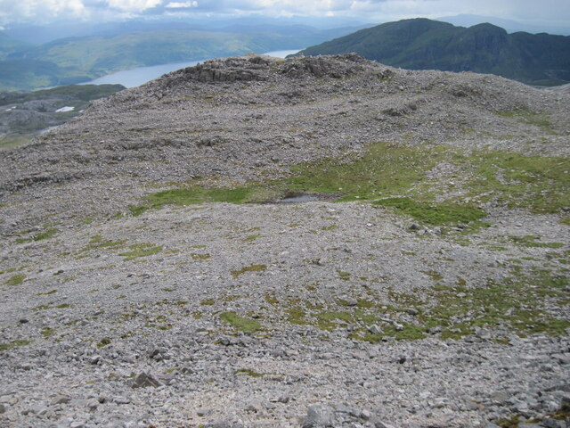
Ruadh Stac Bheag
 Map © Crown Copyright")
TIP: Click the map for more Large scale mapping
- Grid Square
- NG9247, 6 images (more nearby 🔍)
- Photographer
- Chris Wimbush (more nearby)
- Date Taken
- Friday, 24 July, 2015 (more nearby)
- Submitted
- Friday, 14 May, 2021
- Subject Location
-
OSGB36:
 NG 9211 4755 [10m precision]
WGS84: 57:28.2250N 5:28.1082W - Camera Location
-
OSGB36: NG 92167 47740
- View Direction
- South-southwest (about 202 degrees)