2021
SU4068 : The A4 passes Halfway Farm
taken 3 years ago, near to Halfway, West Berkshire, England
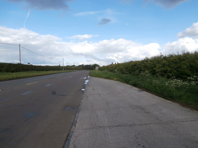
The A4 passes Halfway Farm
Seen from a layby a little way further west. Halfway presumably means halfway between Newbury and Hungerford. The houses on the right look as if they may once have been tied farmworkers' cottages and have impressively tall chimneys.
 Map © Crown Copyright")
TIP: Click the map for more Large scale mapping
- Grid Square
- SU4068, 25 images (more nearby 🔍)
- Photographer
- HelenK (more nearby)
- Date Taken
- Saturday, 22 May, 2021 (more nearby)
- Submitted
- Saturday, 22 May, 2021
- Subject Location
-
OSGB36:
 SU 4028 6835 [10m precision]
WGS84: 51:24.7648N 1:25.3327W - Camera Location
-
OSGB36: SU 4010 6839
- View Direction
- East-southeast (about 112 degrees)