2021
SJ1948 : Rough upland grazing
taken 3 years ago, near to Pentredwr, Denbighshire/Sir Ddinbych, Wales
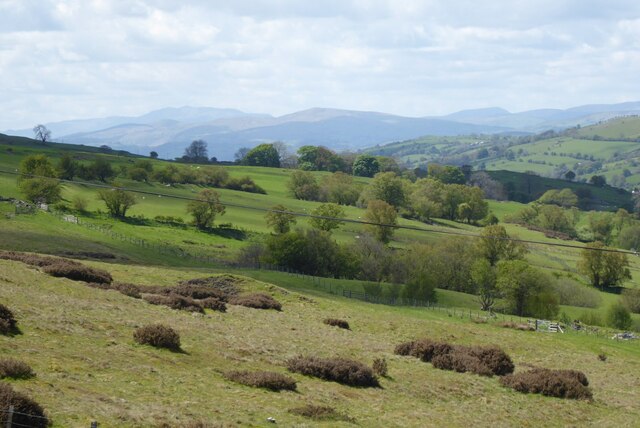
Rough upland grazing
Rough upland grazing beside the A542 on the northern side of the Horseshoe Pass.
 Map © Crown Copyright")
TIP: Click the map for more Large scale mapping
- Grid Square
- SJ1948, 62 images (more nearby 🔍)
- Photographer
- Philip Halling (more nearby)
- Date Taken
- Tuesday, 25 May, 2021 (more nearby)
- Submitted
- Saturday, 5 June, 2021
- Subject Location
-
OSGB36:
 SJ 190 484 [100m precision]
WGS84: 53:1.6318N 3:12.4694W - Camera Location
-
OSGB36: SJ 192 484
- View Direction
- WEST (about 270 degrees)