2021
NY2724 : The Cumbria Way near Mallen Dodd
taken 3 years ago, near to Applethwaite, Cumbria, England
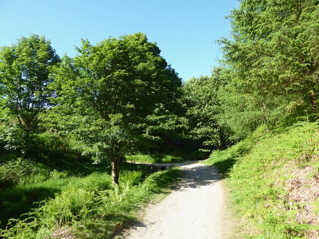
The Cumbria Way near Mallen Dodd
The public bridleway from Briar Rigg to Latrigg Car Park turns sharp left and crosses a small stream which is piped under the path (next photograph NY2725 : Gate on The Cumbria Way, Mallen Dodd).
The Cumbria Way
A 119km (74 mile) long distance path from Ulverston to Carlisle, through the heart of the English Lake District.
 Map © Crown Copyright")
TIP: Click the map for more Large scale mapping
- Grid Square
- NY2724, 129 images (more nearby 🔍)
- Photographer
- Adrian Taylor (more nearby)
- Date Taken
- Thursday, 17 June, 2021 (more nearby)
- Submitted
- Saturday, 19 June, 2021
- Subject Location
-
OSGB36:
 NY 27489 24989 [1m precision]
WGS84: 54:36.8896N 3:7.4591W - Camera Location
-
OSGB36: NY 27479 24970
- View Direction
- North-northeast (about 22 degrees)