2008
SN8167 : Monks Trod track near Afon Claerddu
taken 16 years ago, near to Afon Claerddu [water Feature], Ceredigion, Great Britain
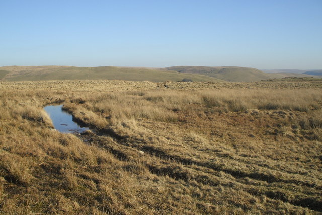
Monks Trod track near Afon Claerddu
Old historical path called Monks Trod near geographical centre of Wales.
It runs from Strata Florida to Pont Elan and then presumably to Abbey Cwmhir.
It runs from Strata Florida to Pont Elan and then presumably to Abbey Cwmhir.
 Map © Crown Copyright")
TIP: Click the map for more Large scale mapping
- Grid Square
- SN8167, 14 images (more nearby 🔍)
- Photographer
- Trix71 (more nearby)
- Date Taken
- Wednesday, 13 February, 2008 (more nearby)
- Submitted
- Friday, 15 February, 2008
- Subject Location
-
OSGB36:
 SN 811 676 [100m precision]
WGS84: 52:17.6284N 3:44.6725W - Camera Location
-
OSGB36: SN 810 676
- View Direction
- East-northeast (about 67 degrees)