2021
NU0113 : Track from Ingram to Prendwick
taken 3 years ago, near to Prendwick, Northumberland, England
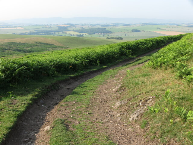
Track from Ingram to Prendwick
This track connects the settlement of Ingram in the Breamish Valley with Prendwick and, at this point, offers sublime views over Whittingham Vale. For a selection of detailed free to download walking routes in the area visit Link
 Map © Crown Copyright")
TIP: Click the map for more Large scale mapping
- Grid Square
- NU0113, 24 images (more nearby 🔍)
- Photographer
- Geoff Holland (more nearby)
- Date Taken
- Tuesday, 20 July, 2021 (more nearby)
- Submitted
- Saturday, 24 July, 2021
- Subject Location
-
OSGB36:
 NU 0118 1378 [10m precision]
WGS84: 55:25.0761N 1:58.9747W - Camera Location
-
OSGB36: NU 0119 1382
- View Direction
- SOUTH (about 180 degrees)