2021
TL9635 : Cawley Road, Leavenheath
taken 3 years ago, near to Honey Tye, Suffolk, England
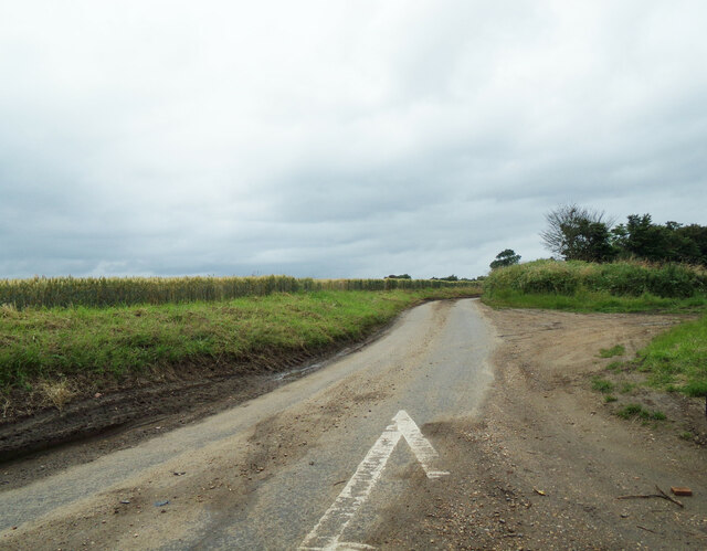
Cawley Road, Leavenheath
At the junction with the A134 Nayland Road
Road No.U8604
Road No.U8604
 Map © Crown Copyright")
TIP: Click the map for more Large scale mapping
- Grid Square
- TL9635, 11 images (more nearby 🔍)
- Photographer
- Geographer (more nearby)
- Date Taken
- Saturday, 10 July, 2021 (more nearby)
- Submitted
- Saturday, 31 July, 2021
- Subject Location
-
OSGB36:
 TL 96004 35375 [1m precision]
WGS84: 51:58.9349N 0:51.1655E - Camera Location
-
OSGB36: TL 96009 35386
- View Direction
- South-southwest (about 202 degrees)