2018
SD2891 : Path on Tottle Bank
taken 6 years ago, near to Sunny Bank, Cumbria, England
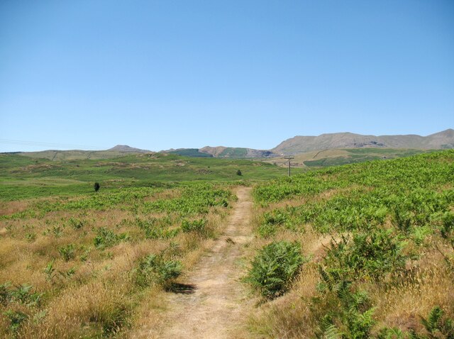
Path on Tottle Bank
Crossing the open ground of Torver Low Common below Tottle Bank, this path is an alternative route for The Cumbria Way, a 74 mile long distance trail between Ulverston and Carlisle (next photograph SD2892 : Bridleway, Tottle Bank).
The grass is dry after a long period of dry weather.
The grass is dry after a long period of dry weather.
The Cumbria Way
A 119km (74 mile) long distance path from Ulverston to Carlisle, through the heart of the English Lake District.
 Map © Crown Copyright")
TIP: Click the map for more Large scale mapping
- Grid Square
- SD2891, 18 images (more nearby 🔍)
- Photographer
- Adrian Taylor (more nearby)
- Date Taken
- Tuesday, 3 July, 2018 (more nearby)
- Submitted
- Wednesday, 11 August, 2021
- Subject Location
-
OSGB36:
 SD 28049 91812 [1m precision]
WGS84: 54:19.0081N 3:6.4539W - Camera Location
-
OSGB36: SD 28072 91795
- View Direction
- Northwest (about 315 degrees)