2021
NT2228 : Tracks on Blackhouse Heights
taken 3 years ago, near to Whitegrain Rig [hill or Mountain], Scottish Borders, Great Britain
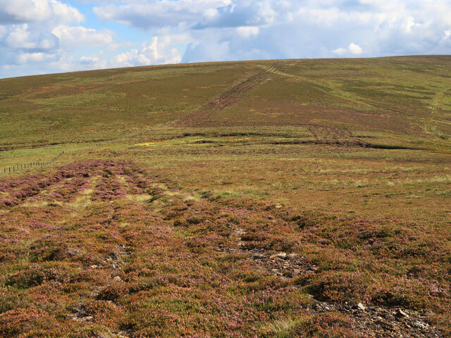
Tracks on Blackhouse Heights
The broad track goes round the boggy area at the col then follows the fence line over Blackhouse Heights.
 Map © Crown Copyright")
TIP: Click the map for more Large scale mapping
- Grid Square
- NT2228, 8 images (more nearby 🔍)
- Photographer
- wrobison (more nearby)
- Date Taken
- Tuesday, 10 August, 2021 (more nearby)
- Submitted
- Tuesday, 17 August, 2021
- Subject Location
-
OSGB36:
 NT 2236 2850 [10m precision]
WGS84: 55:32.6404N 3:13.9188W - Camera Location
-
OSGB36: NT 2228 2889
- View Direction
- South-southeast (about 157 degrees)