2008
SD7479 : Broadrake (Farmhouse)
taken 16 years ago, near to Chapel-le-Dale, North Yorkshire, England
This is 1 of 3 images, with title starting with Broadrake in this square
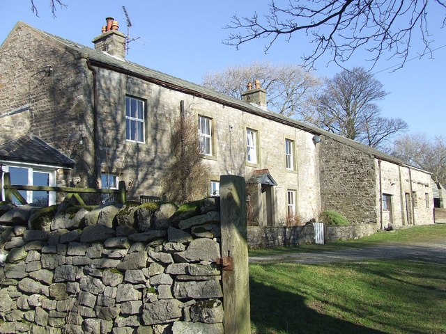
Broadrake (Farmhouse)
Broadrake lies beside the footpath on the classic 'round' of Whernside
 Map © Crown Copyright")
TIP: Click the map for more Large scale mapping
- Grid Square
- SD7479, 77 images (more nearby 🔍)
- Photographer
- Roger Nunn (more nearby)
- Date Taken
- Wednesday, 13 February, 2008 (more nearby)
- Submitted
- Monday, 18 February, 2008
- Subject Location
-
OSGB36:
 SD 740 791 [100m precision]
WGS84: 54:12.4672N 2:23.9889W - Camera Location
-
OSGB36: SD 739 790
- View Direction
- North-northeast (about 22 degrees)