SY6970 : Isle of Portland coastline
taken 5 years ago, near to Southwell, Dorset, England
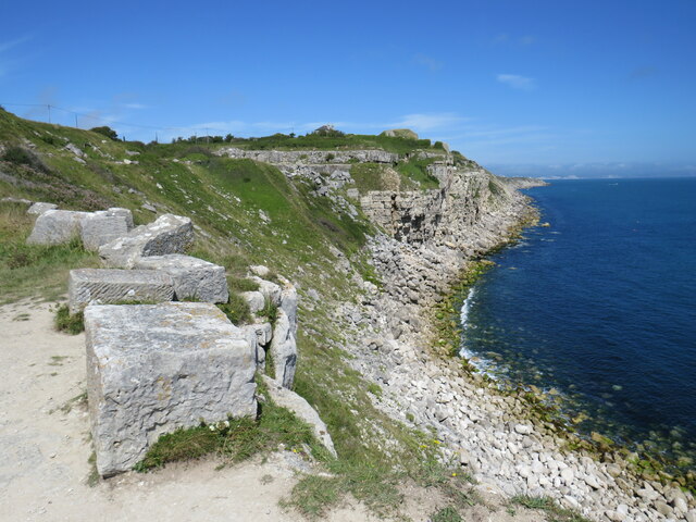

The South West Coast Path is England's longest waymarked long-distance footpath and a National Trail. It stretches for 630 miles, running from Minehead, along the coasts of Devon and Cornwall, to Poole Harbour in Dorset.
Just over 13 miles of the trail is a circular route around the Isle of Portland from Ferrybridge where the Island links to the mainland. The Portland Loop is challenging in places with a mixture of paths, quarry tracks and quiet roads.
The South West Coast Path is the longest National Trail in England. It follows the coastline for 630 miles from Minehead to Poole.
The South West Coast Path National Trail - 630 miles of superb coastal walking. From Minehead on the edge of the Exmoor National Park to the shores of Poole Harbour in Dorset. It is the longest of all Britain's National Trails.
Website: Link


- Grid Square
- SY6970, 134 images (more nearby 🔍)
- Photographer
- Malc McDonald (more nearby)
- Date Taken
- Saturday, 14 August, 2021 (more nearby)
- Submitted
- Monday, 6 September, 2021
- Subject Location
-
OSGB36:
 SY 6905 7006
[10m precision]
WGS84: 50:31.7696N 2:26.2811W - Camera Location
-
OSGB36:
SY 6904 7004
- View Direction
- North-northeast (about 22 degrees)


