2021
SX5269 : Knowle Down and the River Walkham valley
taken 3 years ago, near to Walkhampton, Devon, England
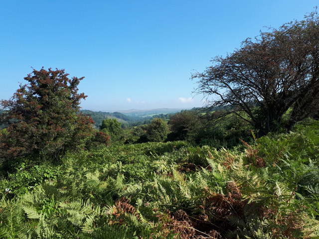
Knowle Down and the River Walkham valley
 Map © Crown Copyright")
TIP: Click the map for more Large scale mapping
- Grid Square
- SX5269, 16 images (more nearby 🔍)
- Photographer
- Vieve Forward (more nearby)
- Date Taken
- Saturday, 4 September, 2021 (more nearby)
- Submitted
- Thursday, 9 September, 2021
- Subject Location
-
OSGB36:
 SX 5269 6991 [10m precision]
WGS84: 50:30.6240N 4:4.7363W - Camera Location
-
OSGB36: SX 5253 6975
- View Direction
- Northeast (about 45 degrees)