2021
SK1058 : Boundary Stone, Beresford Lane
taken 3 years ago, near to Hulme End, Staffordshire, England
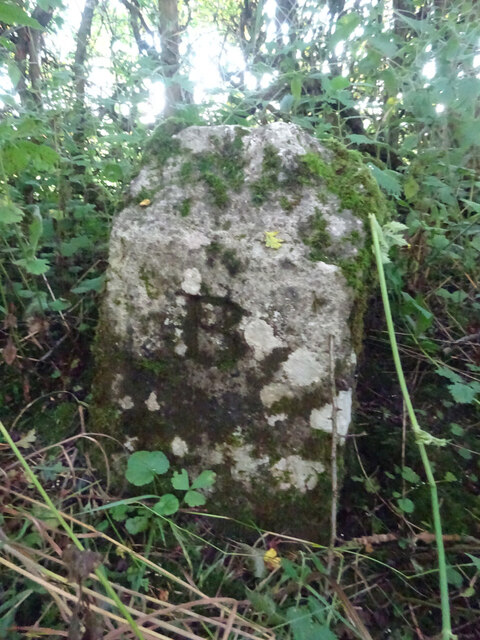
Boundary Stone, Beresford Lane
Hulme End, Alstonefield, in the verge. This is along a "Union & RDC boundary" shown on the 1897/1900 OS map.
Inscription: B
Milestone Society National ID: ST_ALSTON01pb
Inscription: B
Milestone Society National ID: ST_ALSTON01pb
National Survey of Wayside Features by The Milestone Society
These images are from Link
 Map © Crown Copyright")
TIP: Click the map for more Large scale mapping
- Grid Square
- SK1058, 36 images (more nearby 🔍)
- Photographer
- Mr Red (more nearby)
- Date Taken
- Sunday, 22 August, 2021 (more nearby)
- Submitted
- Saturday, 11 September, 2021
- Subject Location
-
OSGB36:
 SK 10862 58910 [1m precision]
WGS84: 53:7.6349N 1:50.3477W - Camera Location
-
OSGB36: SK 10862 58910
- View Direction
- East-southeast (about 112 degrees)