2021
NR8088 : Knapdale Drove Road
taken 3 years ago, near to Achnamara, Argyll And Bute, Scotland
This is 1 of 2 images, with title Knapdale Drove Road in this square
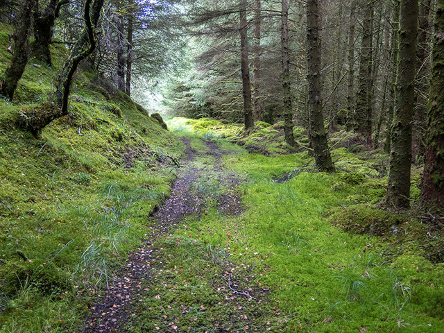
Knapdale Drove Road
A section of the abandoned drove road from Achnamara to Daill. Now passable with a little difficulty.
 Map © Crown Copyright")
TIP: Click the map for more Large scale mapping
- Grid Square
- NR8088, 3 images (more nearby 🔍)
- Photographer
- Patrick Mackie (more nearby)
- Date Taken
- Sunday, 12 September, 2021 (more nearby)
- Submitted
- Monday, 13 September, 2021
- Subject Location
-
OSGB36:
 NR 8005 8846 [10m precision]
WGS84: 56:2.3013N 5:31.9484W - Camera Location
-
OSGB36: NR 8007 8849
- View Direction
- South-southwest (about 202 degrees)