2021
NU2518 : View down track leading to Howbrook Lodge Farm
taken 3 years ago, near to Craster, Northumberland, England
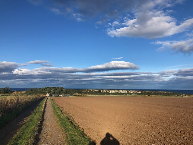
View down track leading to Howbrook Lodge Farm
Long Heugh - a Whin Sill outcrop similar to nearby Hips Heugh, is clearly visible running behind the farm.
 Map © Crown Copyright")
TIP: Click the map for more Large scale mapping
- Grid Square
- NU2518, 155 images (more nearby 🔍)
- Photographer
- Philip Cornwall (more nearby)
- Date Taken
- Saturday, 11 September, 2021 (more nearby)
- Submitted
- Thursday, 23 September, 2021
- Subject Location
-
OSGB36:
 NU 2531 1893 [10m precision]
WGS84: 55:27.8137N 1:36.0764W - Camera Location
-
OSGB36: NU 25144 18814
- View Direction
- Northeast (about 45 degrees)