2021
NU2228 : Approaching Caravan Park near Featherblow Hill
taken 3 years ago, near to Beadnell, Northumberland, England
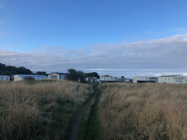
Approaching Caravan Park near Featherblow Hill
The Northumberland Coast Path is 64 miles long and is part of the North Sea Trail. From Cresswell it follows the coast as far as Bamburgh before heading inland to Belford and the Kyloe Hills, which offer panoramic coastal views. From here is joins St. Cuthbert's Way and returns to the coast at the causeway to Holy Island before continuing to Berwick.
See other images of Northumberland Coast Path
See other images of Northumberland Coast Path
 Map © Crown Copyright")
TIP: Click the map for more Large scale mapping
- Grid Square
- NU2228, 52 images (more nearby 🔍)
- Photographer
- Philip Cornwall (more nearby)
- Date Taken
- Sunday, 12 September, 2021 (more nearby)
- Submitted
- Saturday, 25 September, 2021
- Subject Location
-
OSGB36:
 NU 2287 2808 [10m precision]
WGS84: 55:32.7538N 1:38.3466W - Camera Location
-
OSGB36: NU 22872 28046
- View Direction
- NORTH (about 0 degrees)