2021
SJ2343 : The road below Trevor Rocks
taken 3 years ago, near to Llangollen, Denbighshire/Sir Ddinbych, Wales
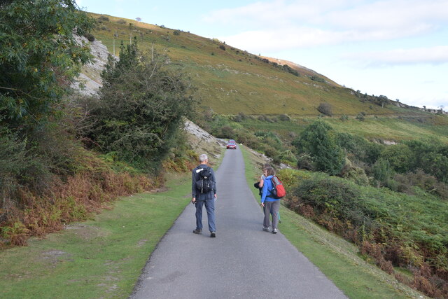
The road below Trevor Rocks
The road also provides the route for the Offa's Dyke Path on this stretch.
 Map © Crown Copyright")
TIP: Click the map for more Large scale mapping
- Grid Square
- SJ2343, 46 images (more nearby 🔍)
- Photographer
- Trevor Harris (more nearby)
- Date Taken
- Wednesday, 22 September, 2021 (more nearby)
- Submitted
- Thursday, 30 September, 2021
- Subject Location
-
OSGB36:
 SJ 2336 4315 [10m precision]
WGS84: 52:58.8116N 3:8.5747W - Camera Location
-
OSGB36: SJ 2324 4314
- View Direction
- EAST (about 90 degrees)