2021
TQ5465 : Bower Lane, Eynsford
taken 3 years ago, near to Eynsford, Kent, England
This is 1 of 4 images, with title Bower Lane, Eynsford in this square
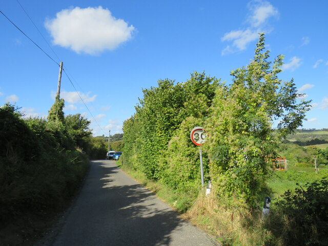
Bower Lane, Eynsford
Bower Lane is a narrow country lane in Kent. Here, the sign indicates the speed limit changes to 30 miles per hour as the lane enters the village of Eynsford.
 Map © Crown Copyright")
TIP: Click the map for more Large scale mapping
- Grid Square
- TQ5465, 189 images (more nearby 🔍)
- Photographer
- Malc McDonald (more nearby)
- Date Taken
- Sunday, 3 October, 2021 (more nearby)
- Submitted
- Monday, 4 October, 2021
- Subject Location
-
OSGB36:
 TQ 5443 6524 [10m precision]
WGS84: 51:21.9140N 0:13.0164E - Camera Location
-
OSGB36: TQ 5444 6523
- View Direction
- Northwest (about 315 degrees)