2021
SH5680 : Cattle Crush and Pens
taken 3 years ago, near to Llanddona, Isle of Anglesey/Sir Ynys Mon, Wales
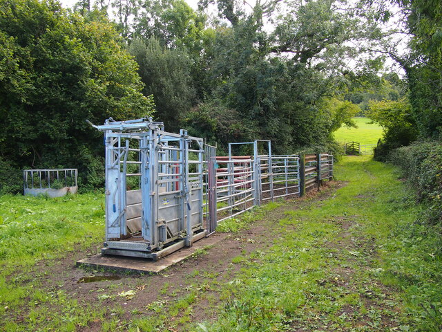
Cattle Crush and Pens
 Map © Crown Copyright")
TIP: Click the map for more Large scale mapping
- Grid Square
- SH5680, 40 images (more nearby 🔍)
- Photographer
- Chris Andrews (more nearby)
- Date Taken
- Sunday, 19 September, 2021 (more nearby)
- Submitted
- Tuesday, 19 October, 2021
- Subject Location
-
OSGB36:
 SH 5663 8035 [10m precision]
WGS84: 53:18.0386N 4:9.1708W - Camera Location
-
OSGB36: SH 5663 8037
- View Direction
- SOUTH (about 180 degrees)