2021
H8330 : Clay Townland
taken 3 years ago, near to Carnagh, Co Armagh, Northern Ireland
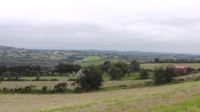
Clay Townland
View over Clay Townland from Carryoghill. This is on the route of the Keady Hills, Lakes, Rivers and Mills Walk. See Link
Loading map... (JavaScript required)
- Grid Square
- H8330, 7 images (more nearby 🔍)
- Photographer
- Sean Davis (more nearby)
- Date Taken
- Sunday, 29 August, 2021 (more nearby)
- Submitted
- Friday, 5 November, 2021
- Subject Location
-
Irish:
 H 83096 30793 [1m precision]
WGS84: 54:13.1606N 6:43.6125W - Camera Location
-
Irish: H 83542 30516
- View Direction
- West-northwest (about 292 degrees)