2021
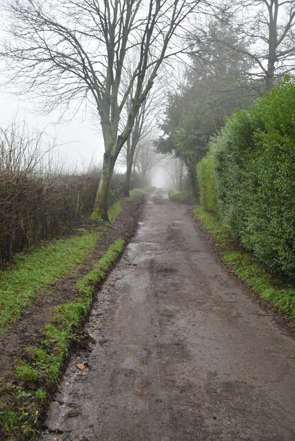
TQ4652 : The Greensand Way
taken 3 years ago, near to Brasted Chart, Kent, England
This is 1 of 2 images, with title The Greensand Way in this square
The Greensand Way
The Greensand Way is a long distance walk of 108 miles (174 km) in Southeast England, from Haslemere in Surrey to Hamstreet in Kent. It follows the Greensand Ridge along the Surrey Hills and Chart Hills. The route is mostly rural, passing through woods and alongside fruit orchards and hop farms in Kent. and links with the Stour Valley Walk near Pluckley in Kent.
See Link for more details. See also Link for more mapping details.
See other images of The Greensand Way
See Link
See other images of The Greensand Way
 Map © Crown Copyright")
TIP: Click the map for more Large scale mapping
- Grid Square
- TQ4652, 66 images (more nearby 🔍)
- Photographer
- N Chadwick (more nearby)
- Date Taken
- Wednesday, 27 January, 2021 (more nearby)
- Submitted
- Thursday, 25 November, 2021
- Subject Location
-
OSGB36:
 TQ 4611 5239 [10m precision]
WGS84: 51:15.1180N 0:5.5354E - Camera Location
-
OSGB36: TQ 4611 5241
- View Direction
- South-southeast (about 157 degrees)