2021
NN7590 : Small drop on the River Tromie
taken 3 years ago, near to Allt na Feinnich [water Feature], Highland, Great Britain
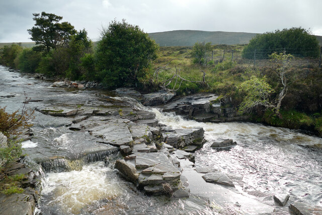
Small drop on the River Tromie
The map glorifies this small ledge drop with the name "waterfall" and the estate owners clearly thought it significant enough to merit the construction of a fish ladder, the top of which can be seen at the bottom left of the photograph. Bits of ironwork sticking out of the rock suggest that the original construction had baffle boards in place to produce a staircase of small pools, but there is little left that would make the route any easier for fish than the main drop unless, perhaps, the hydro stopped stealing the water and left enough to make this a more serious obstacle. Of course, it may be that the selection pressure of sport fishing has evolved a fitter breed of trout that can now laugh in the face of such flows and leap up the fall in one flight. It's a bit of a trek up here with a boat, but the river is in the Scottish White water guidebook, so kayakers may visit, and would be well advised to stick to the left side - random reinforcing bar in river beds is known to make holes in plastic that can spoil your whole day.
 Map © Crown Copyright")
TIP: Click the map for more Large scale mapping
- Grid Square
- NN7590, 11 images (more nearby 🔍)
- Photographer
- Andy Waddington (more nearby)
- Date Taken
- Wednesday, 15 September, 2021 (more nearby)
- Submitted
- Thursday, 25 November, 2021
- Subject Location
-
OSGB36:
 NN 7584 9083 [10m precision]
WGS84: 56:59.5142N 4:2.7094W - Camera Location
-
OSGB36: NN 7585 9084
- View Direction
- Southwest (about 225 degrees)