2021
H4269 : Rough ground, Mullaghmore
taken 2 years ago, 5 km SW of Omagh, Co Tyrone, Northern Ireland
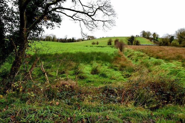
Rough ground, Mullaghmore
Pictured along Drudgeon Road
Loading map... (JavaScript required)
- Grid Square
- H4269, 493 images (more nearby 🔍)
- Photographer
- Kenneth Allen (more nearby)
- Date Taken
- Tuesday, 30 November, 2021 (more nearby)
- Submitted
- Wednesday, 1 December, 2021
- Subject Location
-
Irish:
 H 424 690 [100m precision]
WGS84: 54:34.0945N 7:20.6579W - Camera Location
-
Irish: H 424 690
- View Direction
- North-northwest (about 337 degrees)