2021
SJ8498 : Piccadilly Gardens and the Mercure Hotel
taken 2 years ago, near to Manchester, England
This is 1 of 116 images, with title starting with Piccadilly Gardens in this square
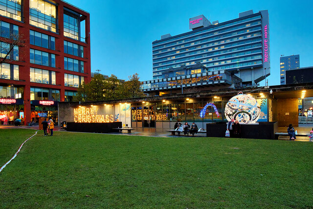
Piccadilly Gardens and the Mercure Hotel
Piccadilly has been a focal point in the city of Manchester for generations. Prior to 1910, the site which later became Piccadilly Gardens was occupied by The Manchester Royal Infirmary. When the Infirmary was demolished, it was originally planned to build a new art gallery on the site but this plan didnt come to fruition and in the end a sunken garden was created with a wide promenade around the statues.
Link shows the gardens as they were laid out after the Second World War, following heavy bombing. It was painted by LS Lowry in 1954. SJ8498 : Piccadilly Gardens (1979) is a photograph showing the gardens as they were in 1979.
However, in 2002, the Piccadilly Gardens area was redesigned resulting in the removal of the sunken garden to be replaced by a grassed area and the building of a charmless concrete wall dividing the new "Gardens" from the busy bus and tram interchange. To pay for this redevelopment, an office building was erected, using the south east corner of the gardens. There is a fountain which provides a pleasant gathering point in sunny weather (SJ8498 : Piccadilly Gardens, Manchester) but the grassy area soon becomes muddy when it is wet.
See other images of Piccadilly Gardens
Link
However, in 2002, the Piccadilly Gardens area was redesigned resulting in the removal of the sunken garden to be replaced by a grassed area and the building of a charmless concrete wall dividing the new "Gardens" from the busy bus and tram interchange. To pay for this redevelopment, an office building was erected, using the south east corner of the gardens. There is a fountain which provides a pleasant gathering point in sunny weather (SJ8498 : Piccadilly Gardens, Manchester) but the grassy area soon becomes muddy when it is wet.
See other images of Piccadilly Gardens
 Map © Crown Copyright")
TIP: Click the map for more Large scale mapping
- Grid Square
- SJ8498, 3904 images (more nearby 🔍)
- Photographer
- David Dixon (more nearby)
- Date Taken
- Friday, 3 December, 2021 (more nearby)
- Submitted
- Friday, 3 December, 2021
- Subject Location
-
OSGB36:
 SJ 843 982 [100m precision]
WGS84: 53:28.8172N 2:14.2190W - Camera Location
-
OSGB36: SJ 843 982
- View Direction
- SOUTH (about 180 degrees)