2021
SW9475 : Field near Cant Farm
taken 3 years ago, near to Rock, Cornwall, England
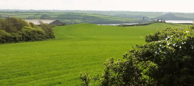
Field near Cant Farm
Taken further east than SW9475 : Field and wood near Cant Farm, and looking back more to the right, towards the Camel estuary, with hillocks in the field. On the left is the barn shown in SW9474 : Barn near Cant Farm. Behind the right-hand hillock is the old railway viaduct across Little Petherick Creek.
 Map © Crown Copyright")
TIP: Click the map for more Large scale mapping
- Grid Square
- SW9475, 60 images (more nearby 🔍)
- Photographer
- Derek Harper (more nearby)
- Date Taken
- Monday, 17 May, 2021 (more nearby)
- Submitted
- Saturday, 4 December, 2021
- Subject Location
-
OSGB36:
 SW 9476 7502 [10m precision]
WGS84: 50:32.3310N 4:53.8685W - Camera Location
-
OSGB36: SW 9494 7513
- View Direction
- West-southwest (about 247 degrees)