1976
NG8074 : Charlestown Harbour, Gairloch
taken 48 years ago, near to Charlestown, Highland, Scotland
This is 1 of 2 images, with title Charlestown Harbour, Gairloch in this square
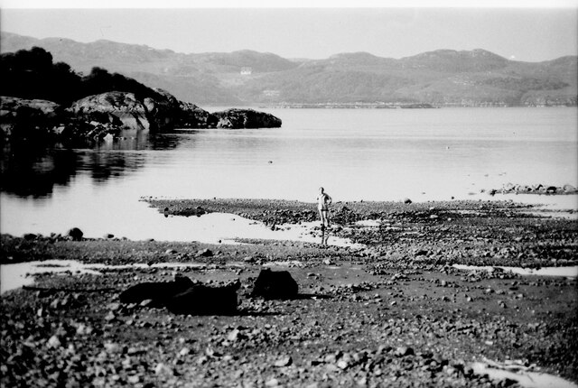
Charlestown Harbour, Gairloch
View south west across the harbour with the coastline of Badachro on the south side of Gairloch in the distances
 Map © Crown Copyright")
TIP: Click the map for more Large scale mapping
- Grid Square
- NG8074, 70 images (more nearby 🔍)
- Photographer
- Nigel Mykura (more nearby)
- Date Taken
- Tuesday, 6 July, 1976 (more nearby)
- Submitted
- Thursday, 16 December, 2021
- Subject Location
-
OSGB36:
 NG 808 748 [100m precision]
WGS84: 57:42.5620N 5:40.8664W - Camera Location
-
OSGB36: NG 808 749
- View Direction
- South-southwest (about 202 degrees)