2022
SO0013 : Ordnance Survey Cut Mark
taken 2 years ago, near to Nant-Ddu, Powys, Wales
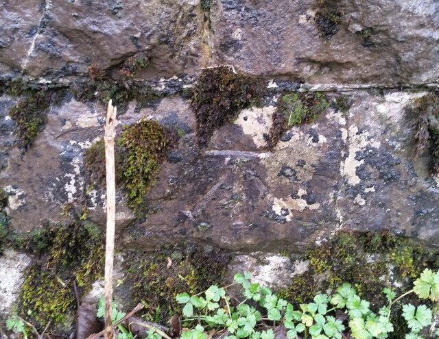
Ordnance Survey Cut Mark
This OS cut mark can be found on the SE parapet of the bridge. It marks a point 266.505m above mean sea level.
 Map © Crown Copyright")
TIP: Click the map for more Large scale mapping
- Grid Square
- SO0013, 39 images (more nearby 🔍)
- Photographer
- Adrian Dust (more nearby)
- Date Taken
- Monday, 3 January, 2022 (more nearby)
- Submitted
- Monday, 3 January, 2022
- Subject Location
-
OSGB36:
 SO 0046 1316 [10m precision]
WGS84: 51:48.4911N 3:26.7112W - Camera Location
-
OSGB36: SO 0046 1316
- View Direction
- South-southeast (about 157 degrees)