2022
SK6973 : Path junction near Lound Hall
taken 2 years ago, near to Bevercotes, Nottinghamshire, England
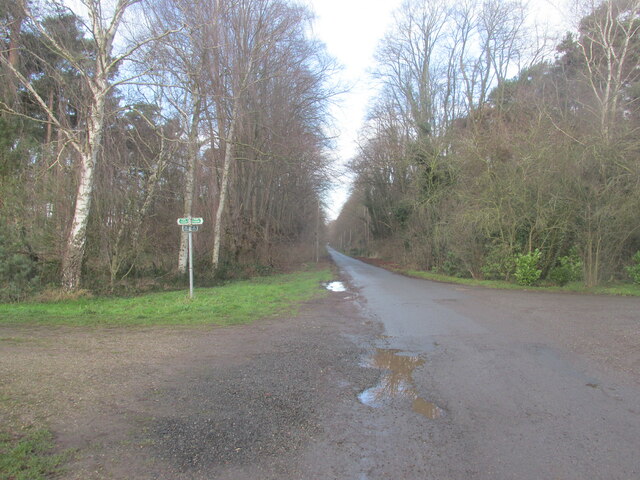
Path junction near Lound Hall
We went left.
 Map © Crown Copyright")
TIP: Click the map for more Large scale mapping
- Grid Square
- SK6973, 38 images (more nearby 🔍)
- Photographer
- steven ruffles (more nearby)
- Date Taken
- Sunday, 9 January, 2022 (more nearby)
- Submitted
- Monday, 10 January, 2022
- Subject Location
-
OSGB36:
 SK 6986 7307 [10m precision]
WGS84: 53:15.0034N 0:57.2665W - Camera Location
-
OSGB36: SK 6988 7305
- View Direction
- Northwest (about 315 degrees)