2022
SE2913 : Town End, West Bretton
taken 2 years ago, near to West Bretton, Wakefield, England
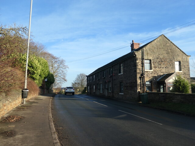
Town End, West Bretton
On Bretton Lane at the eastern edge of the village. The terrace of houses is shown on the large-scale OS map surveyed in 1849-51.
 Map © Crown Copyright")
TIP: Click the map for more Large scale mapping
- Grid Square
- SE2913, 44 images (more nearby 🔍)
- Photographer
- Christine Johnstone (more nearby)
- Date Taken
- Wednesday, 12 January, 2022 (more nearby)
- Submitted
- Tuesday, 18 January, 2022
- Subject Location
-
OSGB36:
 SE 290 138 [100m precision]
WGS84: 53:37.2235N 1:33.7649W - Camera Location
-
OSGB36: SE 290 138
- View Direction
- East-southeast (about 112 degrees)