2015
SS4092 : Rhossili Beach
taken 9 years ago, near to Llangennith, Swansea/Abertawe, Wales
This is 1 of 2 images, with title Rhossili Beach in this square
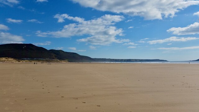
Rhossili Beach
The Wales Coast Path (Welsh: Llwybr Arfordir Cymru) is a long distance footpath which follows the whole of the coastline of Wales. It opened on 5 May 2012, and offers a 870 mile long route from Chepstow in the south to Queensferry in the north.
Wales is the first country in the world to provide a dedicated footpath along its entire coastline. The Path runs through eleven National Nature Reserves and other nature reserves, including those managed by The Wildlife Trusts or Royal Society for the Protection of Birds (RSPB).
Logo can be seen atSS0897 : Logo, Wales Coast Path.
Website: Link
See other images of Wales Coast Path
 Map © Crown Copyright")
TIP: Click the map for more Large scale mapping
- Grid Square
- SS4092, 65 images (more nearby 🔍)
- Photographer
- Lauren (more nearby)
- Date Taken
- Saturday, 4 April, 2015 (more nearby)
- Submitted
- Sunday, 6 February, 2022
- Subject Location
-
OSGB36:
 SS 4029 9206 [10m precision]
WGS84: 51:36.2800N 4:18.4579W - Camera Location
-
OSGB36: SS 4022 9229
- View Direction
- South-southeast (about 157 degrees)