2022
SP2909 : A40 south of Worsham
taken 2 years ago, near to Charterville Allotments, Oxfordshire, England
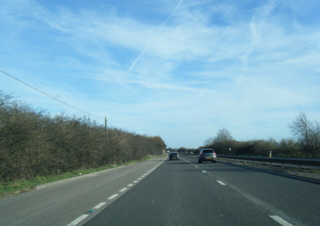
A40 south of Worsham
 Map © Crown Copyright")
TIP: Click the map for more Large scale mapping
- Grid Square
- SP2909, 7 images (more nearby 🔍)
- Photographer
- Colin Pyle (more nearby)
- Date Taken
- Saturday, 26 February, 2022 (more nearby)
- Submitted
- Thursday, 3 March, 2022
- Subject Location
-
OSGB36:
 SP 2966 0981 [10m precision]
WGS84: 51:47.1701N 1:34.2850W - Camera Location
-
OSGB36: SP 2960 0984
- View Direction
- East-southeast (about 112 degrees)