2022
SH6058 : Nant Peris
taken 5 years ago, near to Nant Peris, Gwynedd, Wales
This is 1 of 3 images, with title Nant Peris in this square
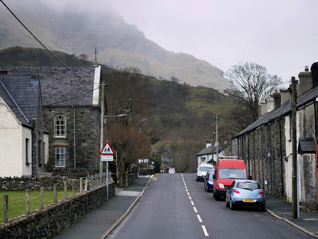
Nant Peris
The village of Nant Peris sits between Llanberis and Capel Curig on the A4086, sheltering in the foothills of Mount Snowdon.
The A4086
The A4086 runs for almost 18 miles between Caernarfon and Capel Curig. It is a popular tourist route as it passes through some of the most memorable and famous parts of Snowdonia including the Llanberis Pass.


TIP: Click the map for more Large scale mapping
- Grid Square
- SH6058, 87 images (more nearby 🔍)
- Photographer
- David Dixon (more nearby)
- Date Taken
- Wednesday, 16 February, 2022 (more nearby)
- Submitted
- Saturday, 12 March, 2022
- Subject Location
-
OSGB36:
 SH 605 584
[100m precision]
WGS84: 53:6.2971N 4:5.1145W - Camera Location
-
OSGB36:
SH 604 584
- View Direction
- East-southeast (about 112 degrees)


