2022
NS9866 : Open Land behind Blackburn
taken 2 years ago, near to Blackburn, West Lothian, Scotland
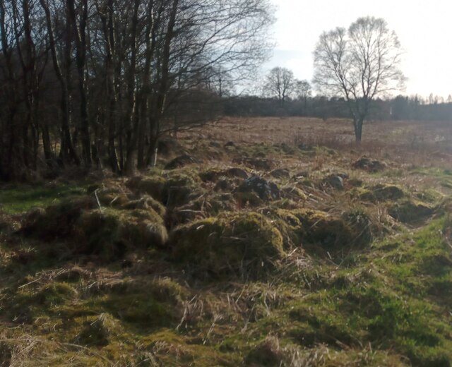
Open Land behind Blackburn
Only a small fraction of this grid-square isn't taken over by urban development. This land sits between houses at the NorthEast of Blackburn and the M8 motorway; it contains a number of paths - unmarked on even the most detailed online mapping - and a great deal of rubbish.
Like a lot of semi-wasteland it has a certain appeal and feeling of discovery about it. The piles of mossy stones in the foreground sadly don't seem to tie in with any previous structure around here though - they are probably just the result of ground getting cleared for woodland or drainage ditches.
Like a lot of semi-wasteland it has a certain appeal and feeling of discovery about it. The piles of mossy stones in the foreground sadly don't seem to tie in with any previous structure around here though - they are probably just the result of ground getting cleared for woodland or drainage ditches.
 Map © Crown Copyright")
TIP: Click the map for more Large scale mapping
- Grid Square
- NS9866, 18 images (more nearby 🔍)
- Photographer
- Ian Dodds (more nearby)
- Date Taken
- Friday, 18 March, 2022 (more nearby)
- Submitted
- Saturday, 19 March, 2022
- Subject Location
-
OSGB36:
 NS 9897 6661 [10m precision]
WGS84: 55:52.9204N 3:36.9956W - Camera Location
-
OSGB36: NS 9897 6661
- View Direction
- South-southwest (about 202 degrees)