2022
TG0943 : Kelling Quags
taken 2 years ago, near to Kelling, Norfolk, England
This is 1 of 3 images, with title starting with Kelling in this square
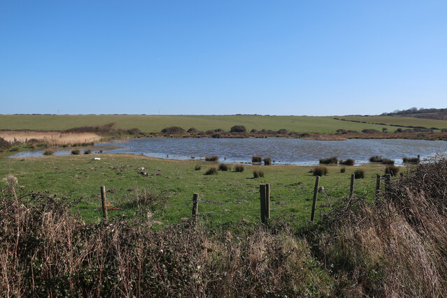
Kelling Quags
Marked as The Quag on the map, but known as Kelling Quags or Kelling Water Meadows.
 Map © Crown Copyright")
TIP: Click the map for more Large scale mapping
- Grid Square
- TG0943, 193 images (more nearby 🔍)
- Photographer
- Hugh Venables (more nearby)
- Date Taken
- Saturday, 19 March, 2022 (more nearby)
- Submitted
- Sunday, 27 March, 2022
- Subject Location
-
OSGB36:
 TG 0946 4368 [10m precision]
WGS84: 52:56.9756N 1:6.9827E - Camera Location
-
OSGB36: TG 09387 43706
- View Direction
- East-southeast (about 112 degrees)