2022
NY9835 : Area of shake holes above Bollihope Quarry
taken 2 years ago, 3 km from Hill End, County Durham, England
This is 1 of 3 images, with title Area of shake holes above Bollihope Quarry in this square
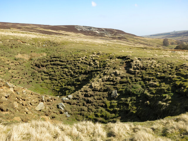
Area of shake holes above Bollihope Quarry
 Map © Crown Copyright")
TIP: Click the map for more Large scale mapping
- Grid Square
- NY9835, 83 images (more nearby 🔍)
- Photographer
- Mike Quinn (more nearby)
- Date Taken
- Friday, 18 March, 2022 (more nearby)
- Submitted
- Thursday, 21 April, 2022
- Subject Location
-
OSGB36:
 NY 9862 3536 [10m precision]
WGS84: 54:42.7948N 2:1.3764W - Camera Location
-
OSGB36: NY 9856 3535
- View Direction
- East-northeast (about 67 degrees)