2022
SH9223 : Eunant Fawr
taken 2 years ago, 4 km SSE of Ty-Nant, Gwynedd, Wales
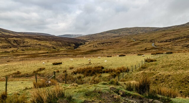
Eunant Fawr
Head of the river Eunant.
 Map © Crown Copyright")
TIP: Click the map for more Large scale mapping
- Grid Square
- SH9223, 9 images (more nearby 🔍)
- Photographer
- Peter McDermott (more nearby)
- Date Taken
- Saturday, 16 April, 2022 (more nearby)
- Submitted
- Sunday, 24 April, 2022
- Subject Location
-
OSGB36:
 SH 924 231 [100m precision]
WGS84: 52:47.6820N 3:35.8331W - Camera Location
-
OSGB36: SH 931 237
- View Direction
- Southwest (about 225 degrees)