2022
SK2946 : Limekiln Lane
taken 2 years ago, near to Turnditch, Derbyshire, England
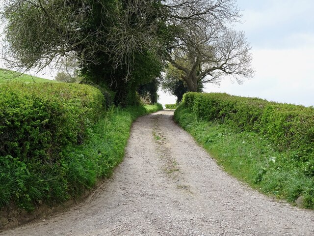
Limekiln Lane
Marked on older maps as "Cow Lane".
 Map © Crown Copyright")
TIP: Click the map for more Large scale mapping
- Grid Square
- SK2946, 21 images (more nearby 🔍)
- Photographer
- Ian Calderwood (more nearby)
- Date Taken
- Saturday, 23 April, 2022 (more nearby)
- Submitted
- Sunday, 24 April, 2022
- Subject Location
-
OSGB36:
 SK 2963 4601 [10m precision]
WGS84: 53:0.6350N 1:33.5905W - Camera Location
-
OSGB36: SK 2965 4603
- View Direction
- Southwest (about 225 degrees)