2022
SP7278 : Looking down on Kelmarsh Wind Farm and the A14
taken 4 years ago, near to Kelmarsh, West Northamptonshire, England
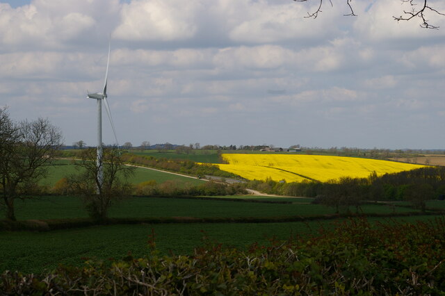
Looking down on Kelmarsh Wind Farm and the A14


TIP: Click the map for more Large scale mapping
- Grid Square
- SP7278, 15 images (more nearby 🔍)
- Photographer
- Christopher Hilton (more nearby)
- Date Taken
- Sunday, 24 April, 2022 (more nearby)
- Submitted
- Monday, 25 April, 2022
- Subject Location
-
OSGB36:
 SP 7285 7819
[10m precision]
WGS84: 52:23.8134N 0:55.8465W - Camera Location
-
OSGB36:
SP 7291 7811
- View Direction
- Northwest (about 315 degrees)


