2022
NZ1456 : The A694 at Hamsterley Mill
taken 2 years ago, near to Highfield, Gateshead, England
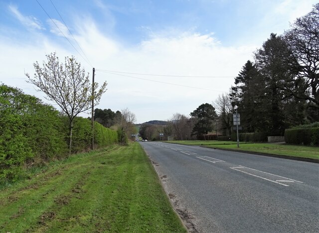
The A694 at Hamsterley Mill
Looking east down the main road to Gateshead. This road was originally a turnpike road opened in 1835 between Swalwell and Shotley Bridge.
 Map © Crown Copyright")
TIP: Click the map for more Large scale mapping
- Grid Square
- NZ1456, 84 images (more nearby 🔍)
- Photographer
- Robert Graham (more nearby)
- Date Taken
- Monday, 11 April, 2022 (more nearby)
- Submitted
- Monday, 25 April, 2022
- Subject Location
-
OSGB36:
 NZ 1429 5669 [10m precision]
WGS84: 54:54.2837N 1:46.7203W - Camera Location
-
OSGB36: NZ 1425 5665
- View Direction
- Northeast (about 45 degrees)