2008
SP1377 : Hillfield Park and Widney Woods
taken 16 years ago, near to Monkspath, Solihull, England
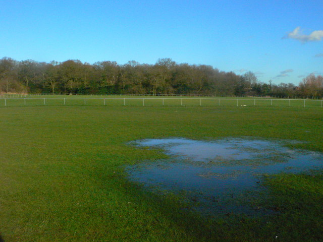
Hillfield Park and Widney Woods
Hillfield Park, with the woodland correctly named Parish Poles, and known locally as Widney Woods, in the background. Now public open space, it was until the 1970s used as a landfill site for Solihull's domestic waste. A tributary of the Cran Brook lies buried several feet below.
 Map © Crown Copyright")
TIP: Click the map for more Large scale mapping
- Grid Square
- SP1377, 22 images (more nearby 🔍)
- Photographer
- Robin Jones (more nearby)
- Date Taken
- Wednesday, 30 January, 2008 (more nearby)
- Submitted
- Saturday, 8 March, 2008
- Subject Location
-
OSGB36:
 SP 138 778 [100m precision]
WGS84: 52:23.9149N 1:47.8371W - Camera Location
-
OSGB36: SP 138 778
- View Direction
- South-southeast (about 157 degrees)