2022
NH9655 : Track giving access to Boghole Farm
taken 2 years ago, near to Whitemire, Moray, Scotland
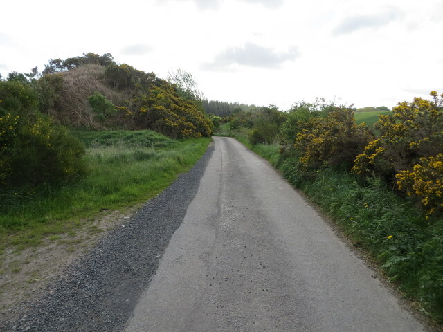
Track giving access to Boghole Farm
Looking south-eastward.
 Map © Crown Copyright")
TIP: Click the map for more Large scale mapping
- Grid Square
- NH9655, 14 images (more nearby 🔍)
- Photographer
- Peter Wood (more nearby)
- Date Taken
- Thursday, 12 May, 2022 (more nearby)
- Submitted
- Sunday, 22 May, 2022
- Subject Location
-
OSGB36:
 NH 96775 55329 [1m precision]
WGS84: 57:34.5709N 3:43.6630W - Camera Location
-
OSGB36: NH 96735 55348
- View Direction
- East-southeast (about 112 degrees)